Old Glossop Heritage Trail (approx 1 Hour).
I have drawn two starting and finishing points for the Old Glossop Trail on this map.
These are
-
from the Council Car Park opposite the Wheatsheaf
-
from the public parking on Shepley Street
Link to Google map for street views of the Old Glossop Heritage Trails
I have numbered the individual sections of the trail and included links to more information about that part of the walk.
Several of the descriptions contain information that has been passed down by word of mouth through the generations of the Old Glossop villagers.
Where this has been used I describe it as "rumor has it" or "it is said"
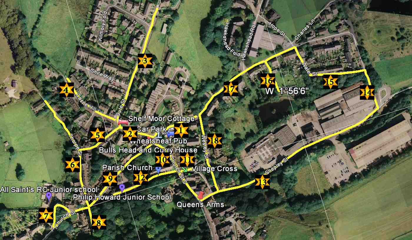
This is the start and finish of the Old Glossop trail at the Wellgate Car Park (No1 Section on the map) but you can start and finish on (section No 13) Shepley Street where there is free parking on the street.
You walk to the left when leaving the car park and then sharp right up Dunn Lane (No 2 section on the Map)
Note the I have a shorter trail here that is suitable for none driving, drinking visitors that I call the "Old Glossop Waltz i.e. 1.2,3 ..1,2,3, until you drop"
where (1) is The Wheatsheaf
(2) is The Bull and (3) is The Queens
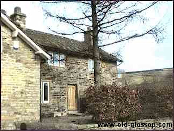
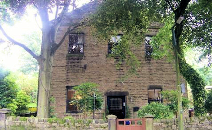
This house opposite the car park used to be the Old Post Office
Link to Historic Photos and information on the Old Post Office
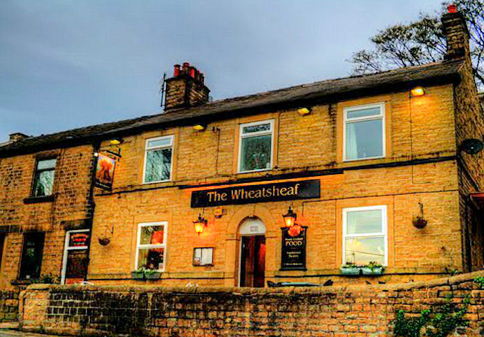
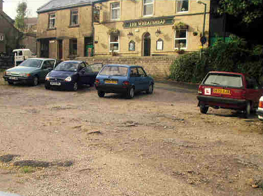
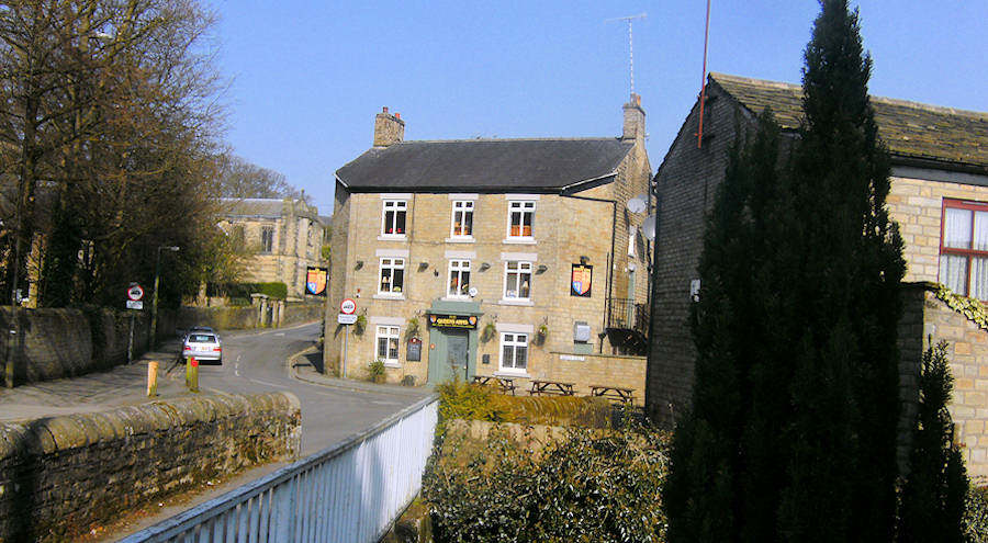
The Wheatsheaf Hotel opposite car park
Link to Historic Photos and information on the Wheatsheaf Hotel
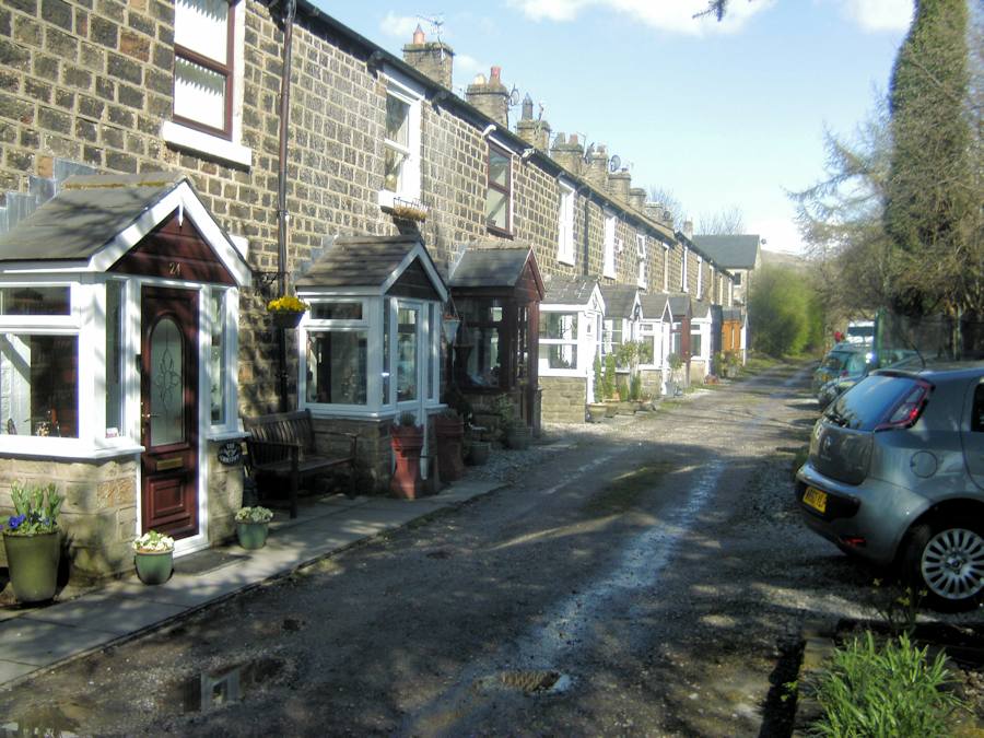
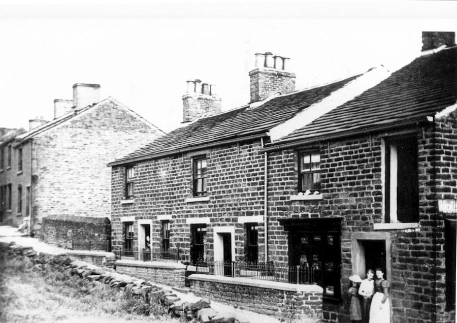
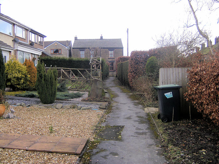
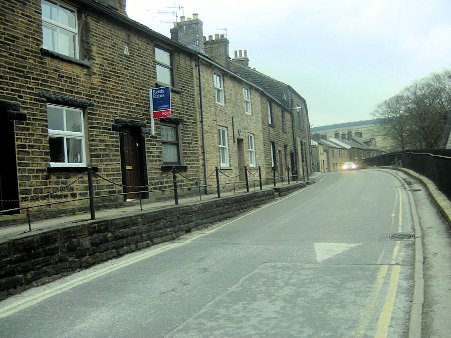
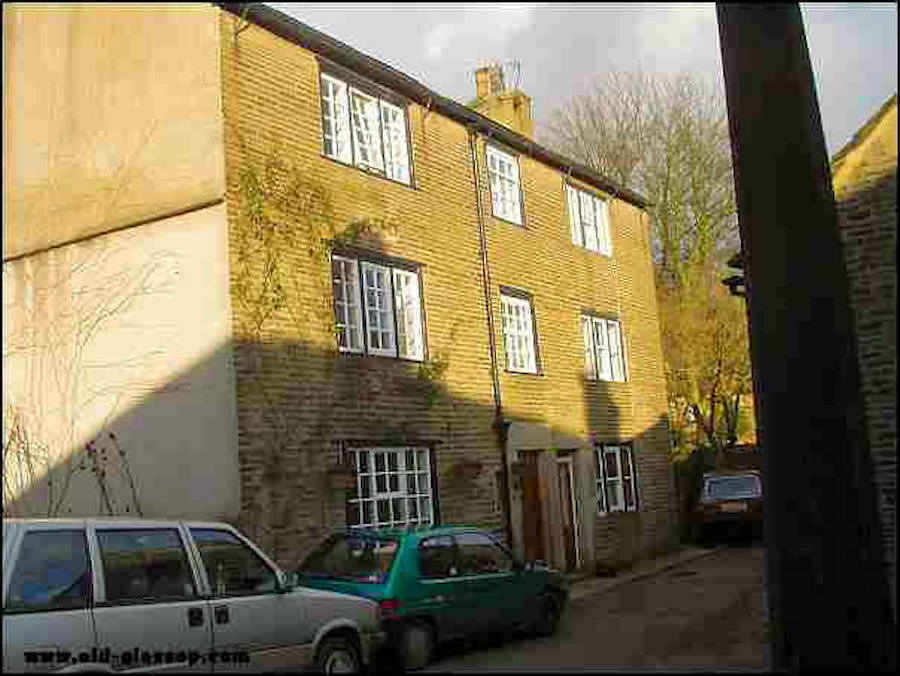
Turn Left at the top of Dunne Lane and pass a row of original cottages on the right hand side (No 5 section on the map ). Looking back down Blackshaw road you will see were Oldham Street was replaced by the council houses. This area of Old Glossop has lost its historic Heritage.
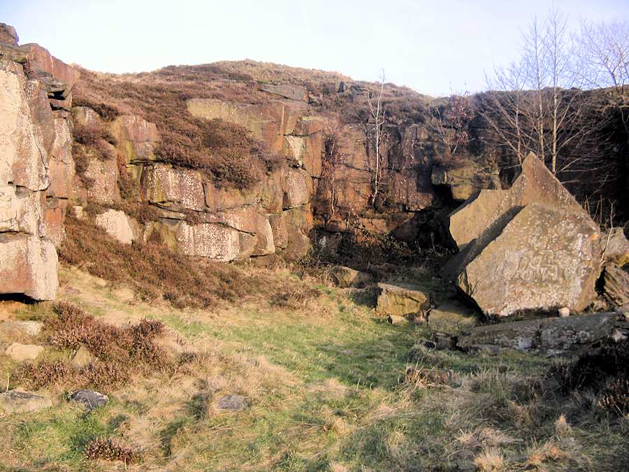
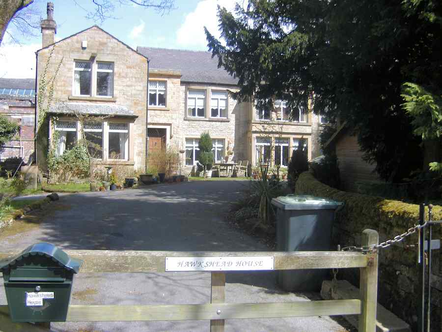
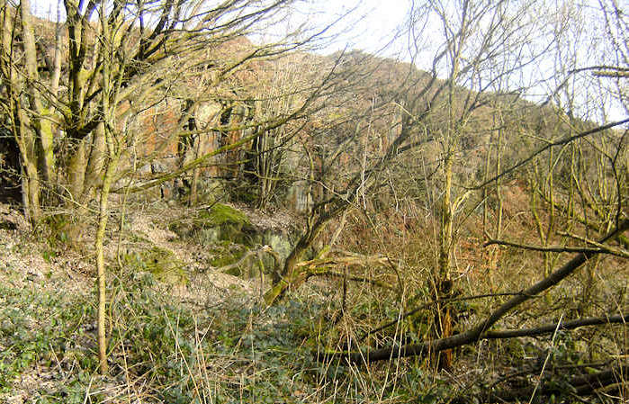
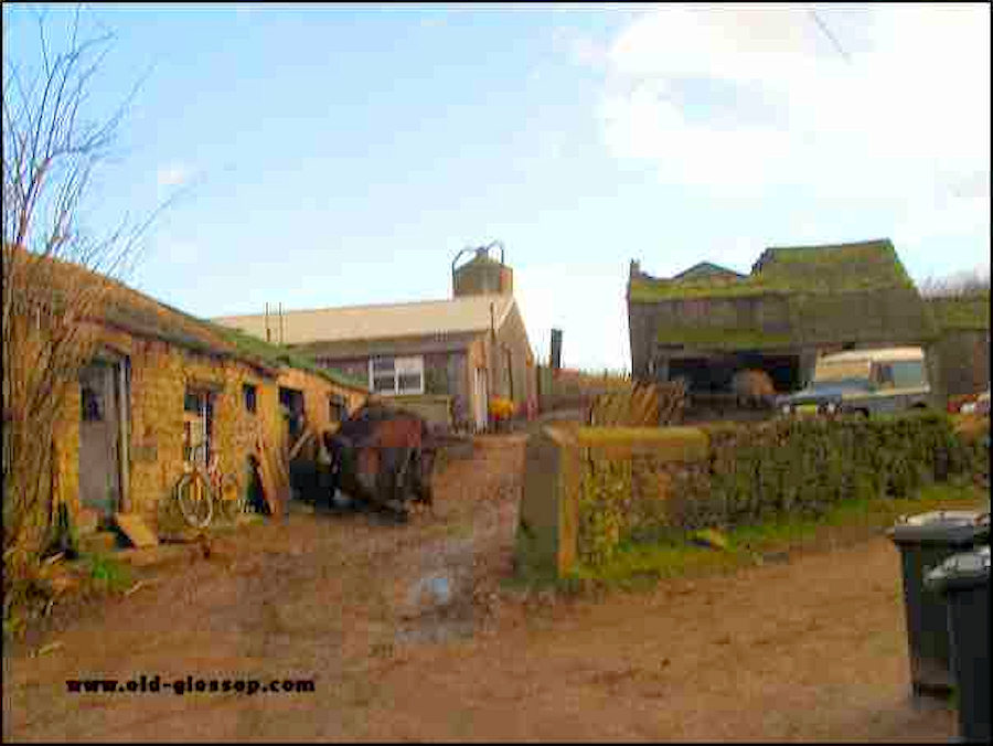
Turn right and walk to the end of Bute Street ( No 3 section on the map ), from there you can see the back of Haukshead Mill and Haukshead House. Directly in front of you is Shire Hill Hospital formally the Glossop Union work house .Behind the hospital is the long forgotten Workhouse quarry. On the right hand side is a small holding which was typical of the small farms in this area while the farming fields on the left hand side have been decimated by a modern out of keeping estate.
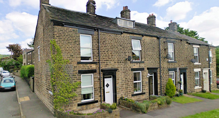
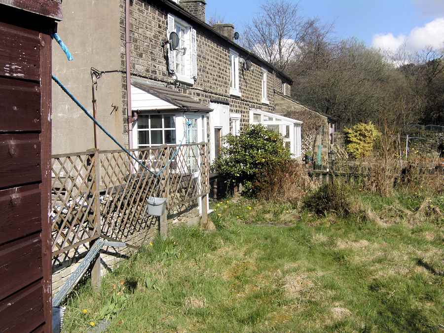
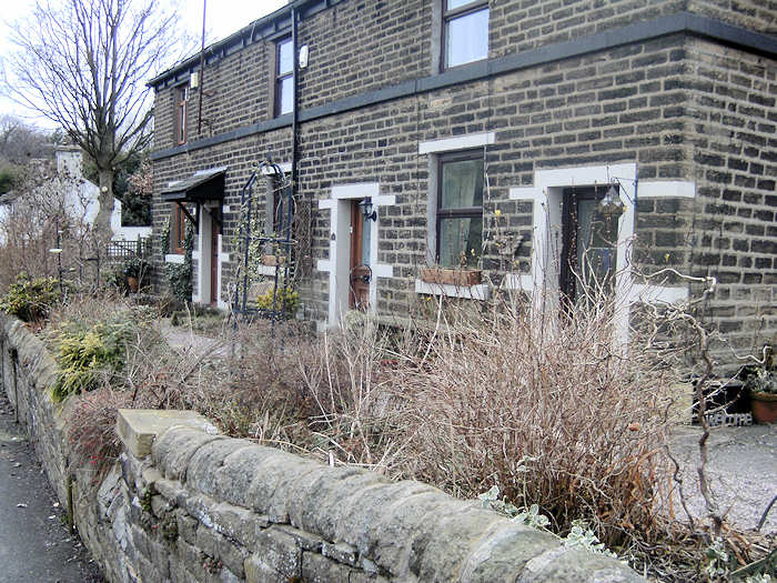
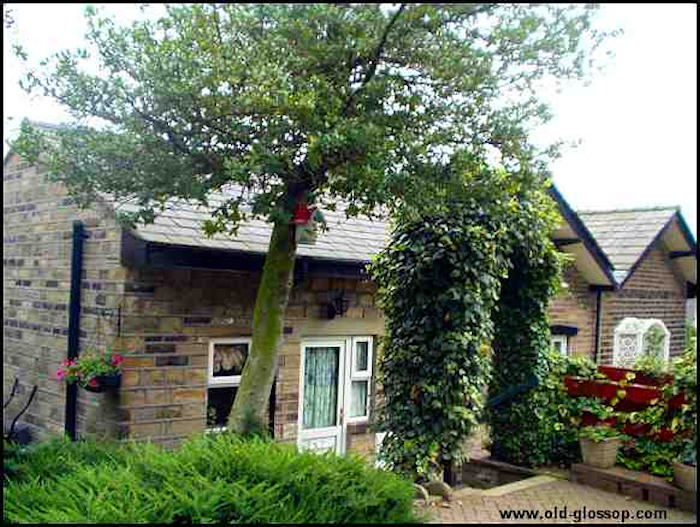
These 4 cottages where saved and renovated. One of the cottages has been totally modernized and renovated inside and is now a locally run holiday cottage.
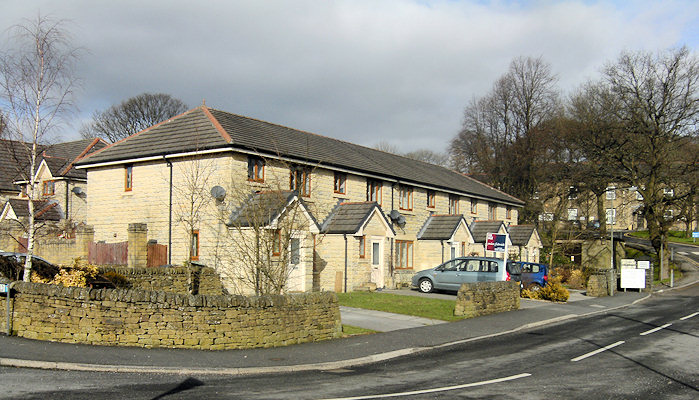
This affordable Housing on Bute Street is the only part of the Kilmony Fold build that is more or less acceptable for the area.
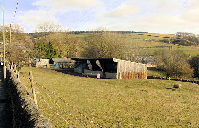
The small holding farm on the right of Bute Street is owned by Mr... Frank Ackley
On retracing your steps back along Bute Street you will pass a small gate on the right which leads to the fronts of the Shireway Council Houses.
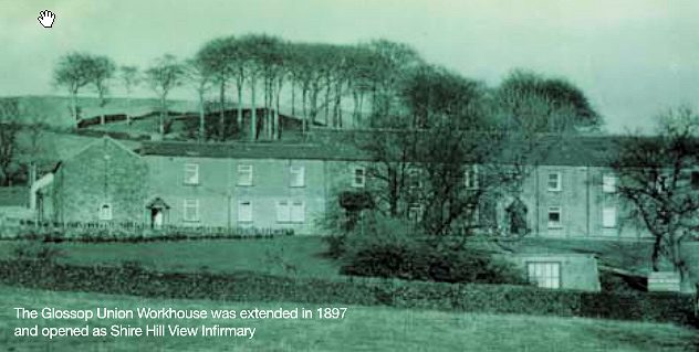
The Glossop Union Workhouse was extended in 1897 and opened as Shire Hill View Infirmary.
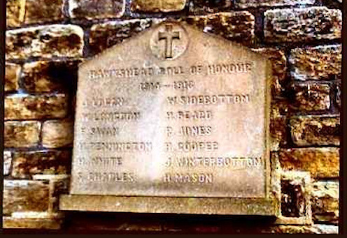
First World War Memorial to the men who worked at Haukshead Mill
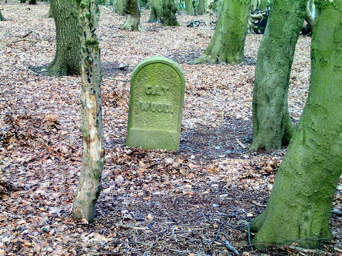
Now turn right along Castle Hill also known as Thorpe Row. (No 4 section on the map) This leads to a footpath over the fields to Swinshaw reservoir via Catwood (Not part of the trail). On retracing your steps turn right along the remainder of Blackshaw Road and note the sets and cobbles which Derbyshire County Council missed on their damaging cull on the first part of Blackshaw Road.
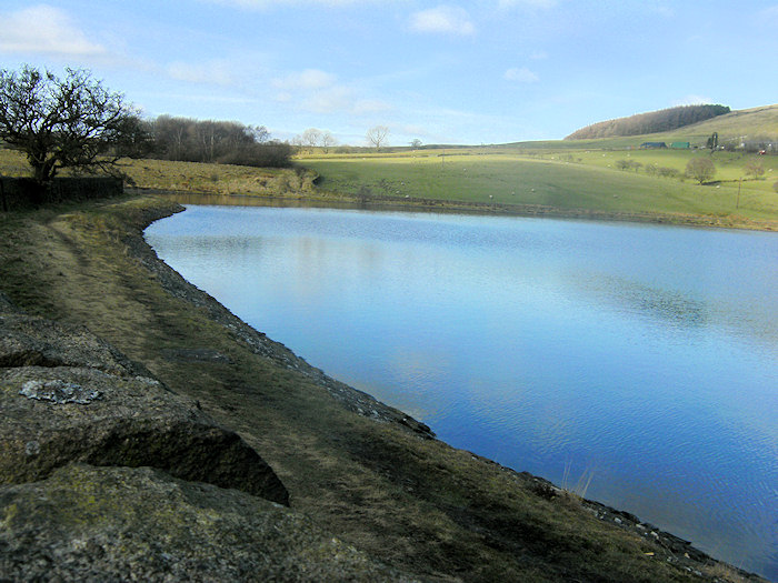
At the Tee Junction of Blackshaw Road (No 5 section on the map) and Thorpe Street turn right along Thorpe Street. (No 6 section on the map) This leads to a series of footpaths over the fields to Swinshaw reservoir via Catwood (Not part of the trail) and Woodhead Road.
On retracing your steps and proceeding to the end of Thorpe Street on your right is were the corner shop stood, and on the opposite side (section 8) is were the convent (now a private house) and Church Close is located.
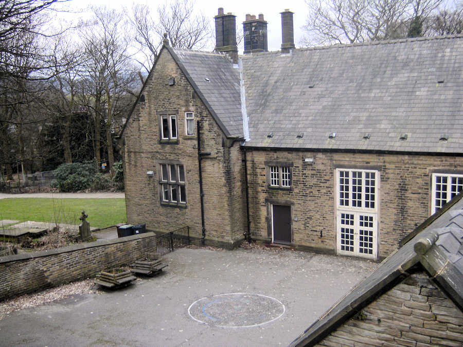
On. turning right along Church Street. (No 7 section) you can walk round the coppice to see the only local school remaining in Old Glossop.
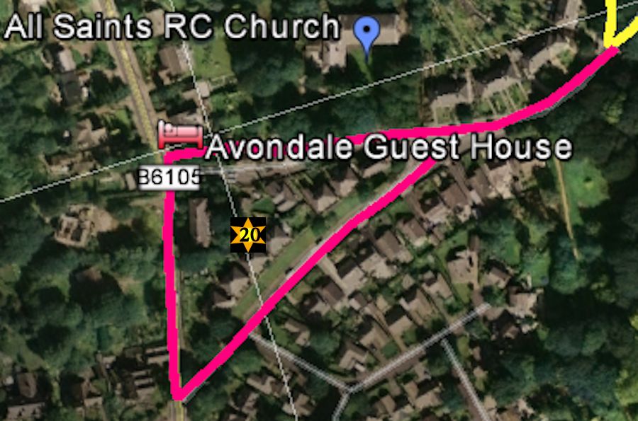
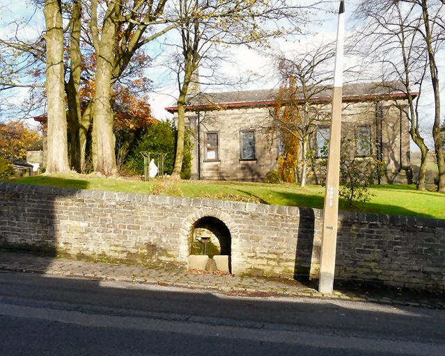
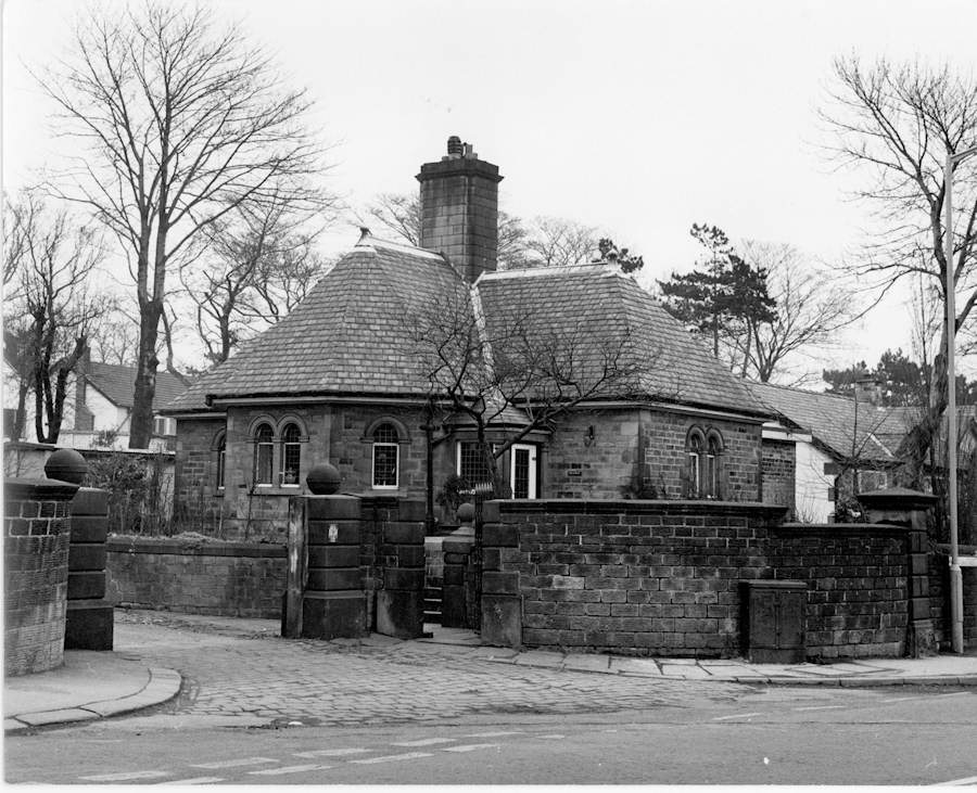
Although not on the Official Heritage Trail if you have enough time you could walk past the school and on to the end of Church Street where along the way there is Old Glossops only remaining working well, All Saints Roman Catholic Church, the bungalow and remaining cottages with the toll house on Woodhead Road. Instead of retracing your steps walk a 100 yds down Woodhead road and turn left down Hall Meadow Road to rejoin Church street. This takes you past the Glossop Hall Gatehouse, a bungalow estate know locally as " Noddy Land" where the Glossop Hall was before it was sold and demolished. You also pass a small gate in the wall which Lord Howard used to go to All Saints Church.
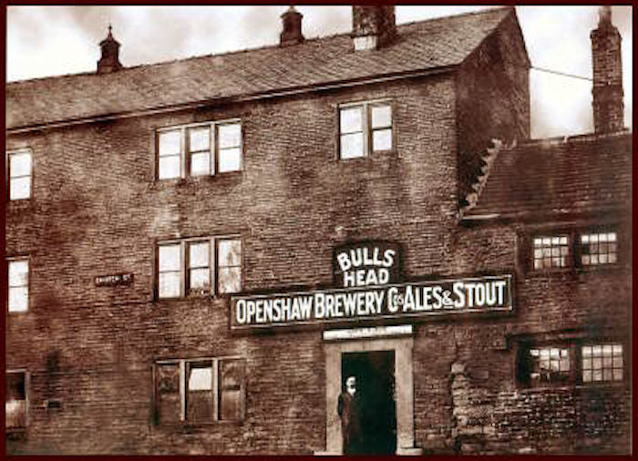
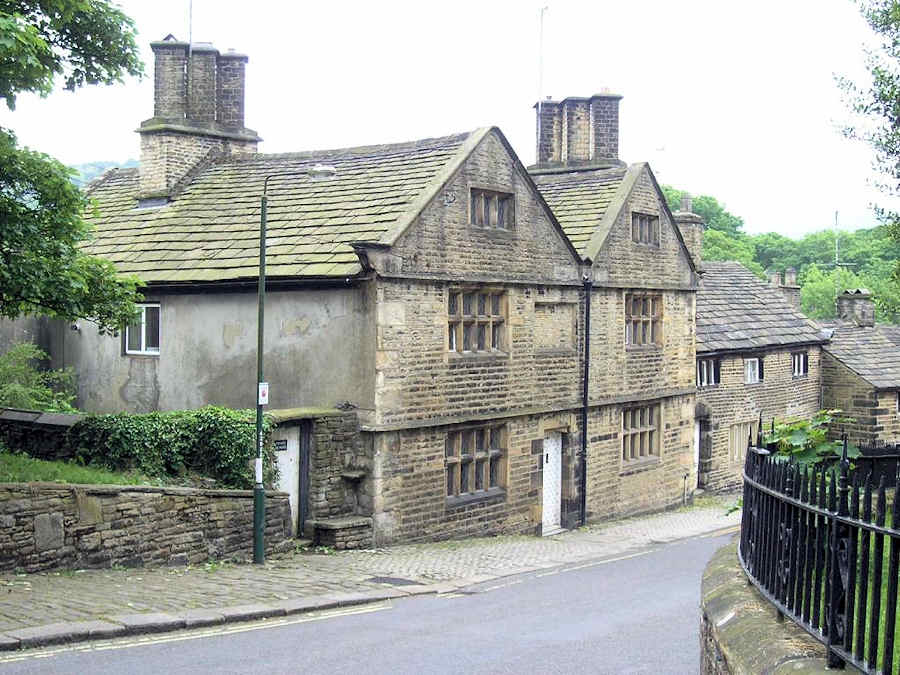
After retracing your steps turn right down Church Close to have a look at the top of Manor Park on (section No 8 )The next section ( No 9 ) of the walk takes us along Church Street to the old Bulls Head where we turn right down the brew of Church Street South (Section No 10). The 17th century cottages along this section of the trail are properly the most photographed part of Glossop and even I dare say in the whole of the Peak District.
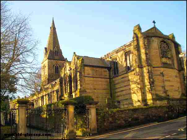
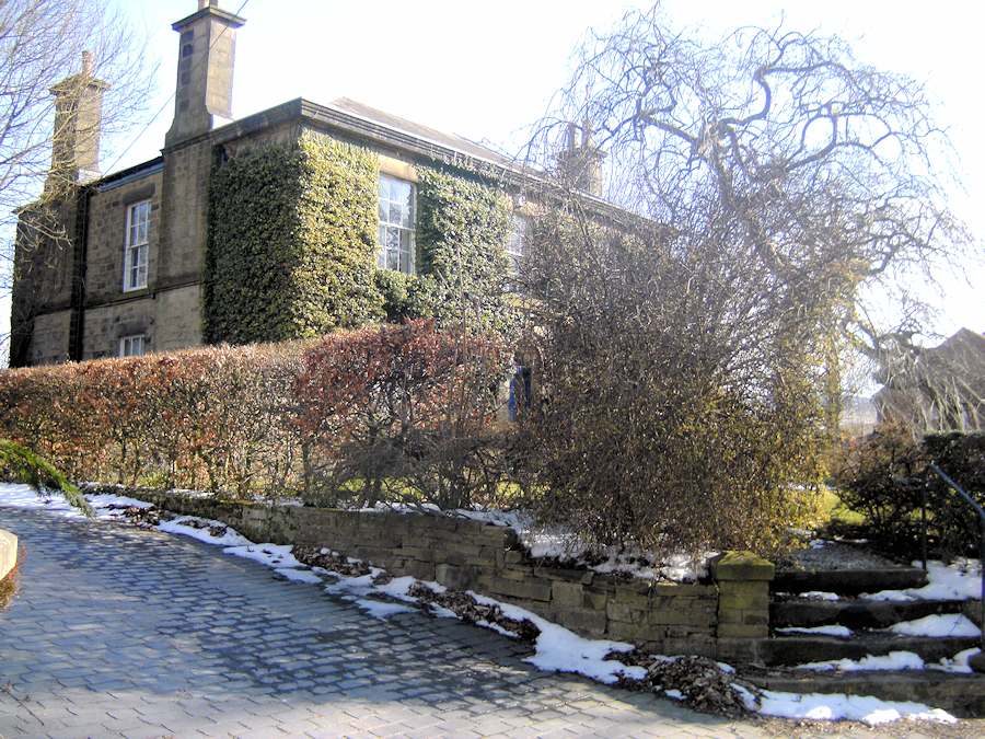
Before the end of Church Street South turn right opposite the old cross and walk through the ancient church gates along Church Walk ( Section No 12 ). On your right is the parish church and the Duke of Norfolk primary school (if the church doors are open it is well worth a look inside). To your left is the Old Vicarage the new Vicarage and Manor Park grounds .
On retracing your steps cross over Church Street
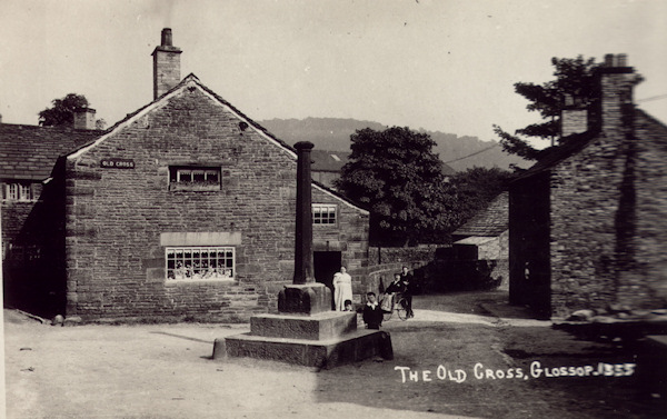
onto the Old Cross ( Section No 11 ) where the cross has recently been repaired after a car damaged it.
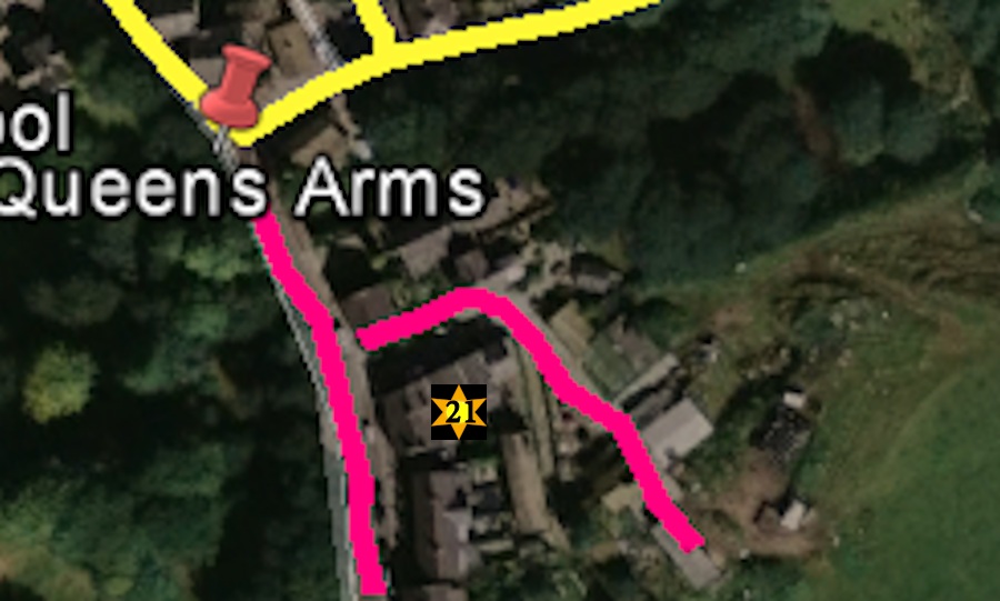
However a short 5 minutes diversion from the trail is recommended along Manor Park Road (formally Hall Street) which is straight in front of the Queens Arms. On this small diversion you first pass a private house that was formally the Talbot Inn then a Post Office, the next private house was formally the Hare and Hounds Pub. The red bricked houses are on the site of the Old Glossop Fair Ground and occupants still find old coconut shells in their gardens Finally the large "Rygate" house on the left was built for the steward of Glossop Manor. By turning down Manor Park View you can see the only remaining full working farm in Old Glossop with its recently built farmhouse, grade 2 listed barn and several 17th century cottages down the lane.
At the bottom of Church street South and Shepley Street is the Queens Arms, one of the three remaining pubs in Old Glossop The Trail then continues along Shepley Street (No 13 section on map)
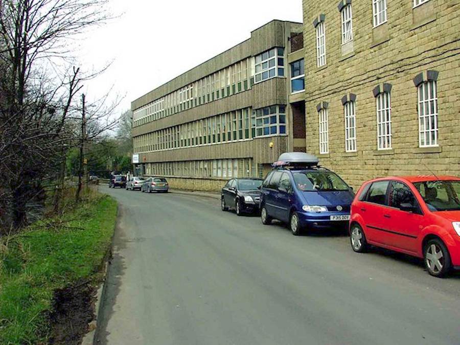
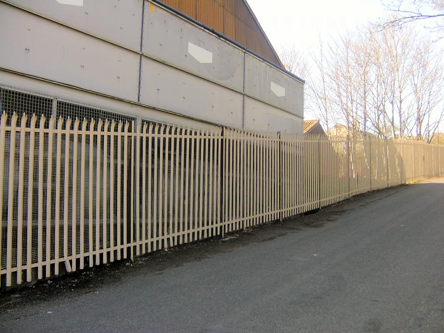
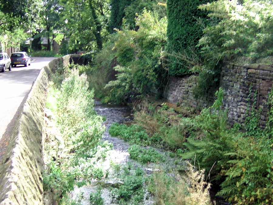
Section 13 is a pleasant walk along the Shelf Brooke on the right hand side and the Firth Rixon factory on the left. This is the area were the first cotton mils where built in Glossop. At the end of Shepley street you turn right along the short Hope Street section 14. However one of the main walks in Old Glossop continues straight up the lane from Shepley Street and is called Mossey Lea .This is well worth a sperate walk on its own with many routes available I hope to list these routes in the near future.
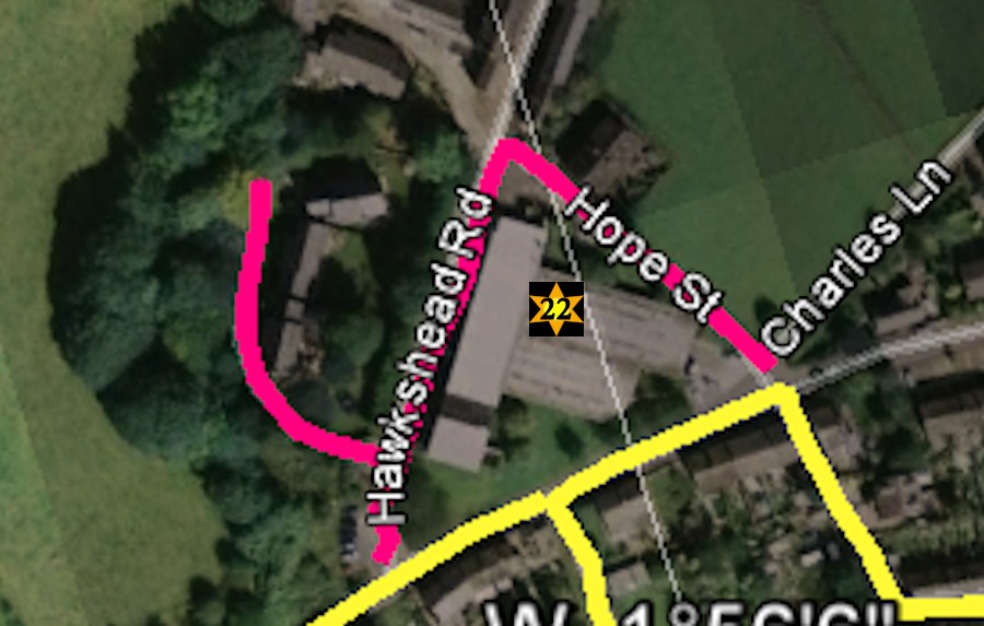
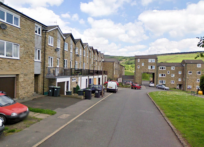
However a short 5 minutes diversion from the trail is recommended along the lane opposite the entrance to Water Street.(Section 22)This leads to the Hawkshead mill area, Hawkshead House and the small overspill Estate that was built on the Hawkshead house Gardens.
Another separate walk which I will be listing later is to proceed up Charles Lane to see the old Low Quarry and then onto the moors.
Water Street (Section 15) is a very pleasant untouched area of Old Glossop
As you walk down
Hope Street (Section 17) on your left hand side is a small unadopted street called Smedley Place (Section 16)
There is
an excellent view of of the Meadow Mills mill pond from the bottom of Smedley Place which is now under threat from the developers.
The first house on Hope Street (section 17) was a pub called the Greyhound or nicknamed "the little dog"
Hope Street used to be Called "Rough Town" because the workers at the Low Quarry and Barrack Row mills and cottages had a very "Hard" reputation
The unofficial Car Park on the right hand side of hope Street was a small farm House which burnt down in 19
Between the car park and the scout
hut is an area where the original houses on Hope Street had allotments.(
see the 1895 photo on the Hope Street page)
Wesley Street (Section 18) is the final part of our trail, as well as the Wesley Chapel and School, there is the original mill in Old Glossop called Rolfe mill.
The trout stream on the right hand side is a fittin backdrop for this interesting section of Old Glossop.
 old glossop heritage trail
 Dunne Lane

_school/All_saints_school/exterior5.jpg)
.jpg)
